Burren Way: Trail Info
Introduction
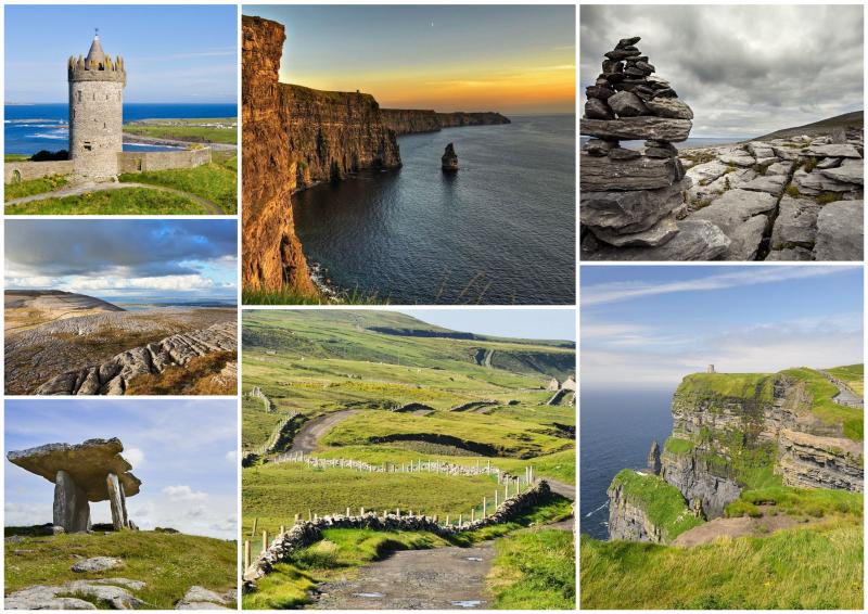
The Burren Way is a 98km long (116km including the Black Head Loop) walking route that takes in the best of what the Burren area has to offer, from rugged coastline to dramatic cliffs to majestic wild-flower-decorated limestone terraces. You will discover many attractions from the remains left by the Neolithic inhabitants of the Burren to the rich heritage of early Christian churches and sites.
The Burren forms the northern part of County Clare, and it overlooks Galway Bay and the Atlantic Ocean. The word ‘Burren’ comes from ‘Boireann’, or stony district, and refers to the 130 square kilometres of spectacular terraced limestone hills and valleys that characterise the area. It is one of the largest karst limestone landscapes in Europe.
The highest hill, Slieve Elva, is a mere 344 metres above sea level, but the southwestern end of the Burren drops into the sea at the world-famous Cliffs of Moher, which rise more than 200 metres vertically out of the sea. Added to these surroundings are hundreds of miles of rambling stone walls, a unique density of well-preserved monuments and buildings from the Neolithic to early Christian period, and a rich treasury of rare wild flowers.
Map
The Route
Starting in the seaside town of Lahinch (famed for its surfing), the trail passes through the nearby village of Liscannor and then along the majestic Cliffs of Moher to Doolin, a lively traditional music hub. Next, the route continues north along the hills above the sea to Fanore.
From Fanore the route goes around Black Head, the most north-westerly point of the Burren, or across the hills and through two valleys to the village of Ballyvaughan, on Galway Bay. It then crosses into the heartland of the Burren through the tiny village of Carran, and finishes in Corofin on the south-eastern side of the Burren.
Terrain Overview
The Way follows a mix of Green Roads (old cattle drover’s roads), pathways, forestry tracks and minor tarmac roads. In many places the trail follows local roads, but this is dependent on which tour itinerary you choose and there is less road-walking in the sections between Lahinch and Ballyvaughan.
The total aggregate ascent is approximately 1,500m over the entire route and there are only few short, steep climbs involved. Overall the trail is relatively flat and easy to manage.
Elevation Profile (Click image to enlarge)
Terrain by Stages
Lahinch – Doolin: A beach walk, followed by quiet road sections along the coast and finishing with a spectacular cliff walk along narrow paths.
Doolin – Fanore: Some road walking followed by rugged terrain along deserted hill paths and tracks. Slippery in places if wet.
Black Head Loop: Tracks and hill paths which can be rugged and become a little bit overgrown, some sections on road towards the end; a few medium climbs; great views of Galway Bay.
Fanore – Ballyvaughan: 'Green Roads', tracks and minor roads; mostly good underfoot; some medium ascents and descents.
Ballyvaughan – Carran: Tracks and minor roads; mostly good walking surface; some moderate climbs.
Carran – Corofin: Depending on the itinerary chosen, there might be some walking on limestone pavement and one minor climb for the first section. After that, there are mostly minor roads through the Burren upland with a gradual descent towards Corofin.


