West of Ireland/Connemara: Trail Info
Introduction
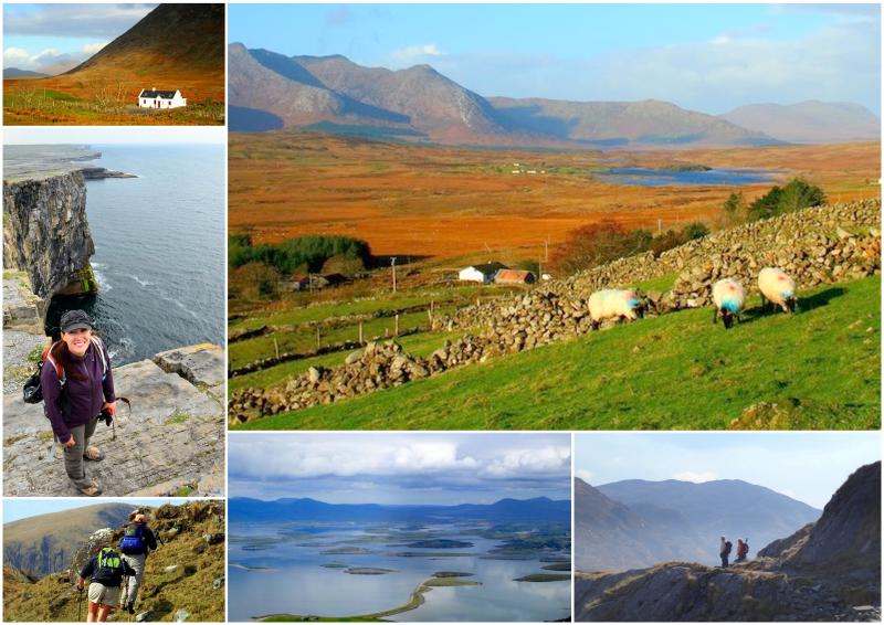
Our West of Ireland/Connemara walking tours follow local roads and trails on Inis Mór, the largest of the Aran Islands, as well as the southernmost part of the official Western Way walking trail. This trail, from Oughterard in Co. Galway to Westport in Co. Mayo, is an excellent introduction for walkers to the beautiful and scenic wildernesses of Connemara.
The term ‘Connemara’ is frequently used to describe all of County Galway that lies west of Lough Corrib. It is also used to describe the Gaeltacht (Irish-speaking areas). Even nowadays, Connemara has a vibrant Irish-speaking community - the largest in Ireland - and is the base for the Irish language television service. The area has a rich heritage of folk traditions, such as 'sean-nos' (or ‘old style’) singing, dancing, and sailing.
Map
The Route
Our longer tour itineraries start on the Irish-speaking island of Inis Mór (Aran Islands), with its rugged coast, blow holes, cliffs and storied history. The mainland section then follows the Western Way trail. It starts in the famous angler’s town of Oughterard on the shores of Lough Corrib, and from there, the route follows the western edge of Lough Corrib, the second largest lake in Ireland.
The trail then heads northwest into a wilderness of forests, mountain and bog land to arrive at civilisation again at Maam Valley. From Maam Valley, the route crosses the rugged Maumturk Mountains via a pass. Descending into the beautiful Inagh Valley the route passes between the Twelve Bens and the Maumturks, to reach the shores of Killary Harbour and the picturesque village of Leenane.
After Leenane, the trail leaves County Galway, and enters a rugged landscape of mountain, bog and lakes in County Mayo. The trail frequently enjoys views of the holy mountain of Croagh Patrick and over the many islands in Clew Bay, before finishing in the vibrant town of Westport.
Terrain Overview
The terrain consists of quiet roads, bog roads, open moorland, forestry tracks and mountain paths. Some parts of the route can occasionally be quite wet and boggy, particularly after rainy periods, when there is a fast run-off of water from the mountains.
The total aggregate ascent over the whole mainland route is approximately 2,000m, and there are almost no significant climbs with the exception of Maum Ean Pass and the Sheefry Hills. Several sections of the Western Way follow quiet local roads but the overall percentage of road-walking depends on which tour itinerary you choose.
Elevation Profile (Click image to enlarge)
Inis Mór
Oughterard to Westport (not including Killary Harbour Famine Trail)
Terrain by Stages
Inis Mór - The Western Side: Quiet country roads and tracks out of Kilronan, then more rugged terrain along a cliff-top.
Inis Mór - The Eastern Side: Island roads and tracks. Dry, rocky terrain along a seashore.
Oughterard – Maam: Quiet country roads next to Lough Corrib. Woodland tracks followed by boardwalk across bog.
Maam – Leenane: Steep, exposed track to a mountain pass. Then along mountain paths and deserted country roads.
Leenane – Drummin: Grassy riverbank walk to begin, then forest tracks and quiet country roads. An optional additional route crosses a steep mountain pass and leads across rugged and occasionally boggy terrain.
Drummin – Westport: A mixture of quiet roads, rough bog land and forest tracks. Follow an abandoned railway line into Westport.


